Complete the form to request product details, pricing, schedule a demo, or to discuss an upcoming project.
At 3vGeomatics (3vG), part of Orica Digital Solutions’ Geosolutions portfolio, we understand that our customers require reliable and cost-effective methods for monitoring ground movement, particularly across remote, vegetated, or expansive infrastructure networks. That’s why we’ve integrated data from NISAR, the NASA–ISRO Synthetic Aperture Radar satellite, into our monitoring services.
Here’s how it works and why it will help you:
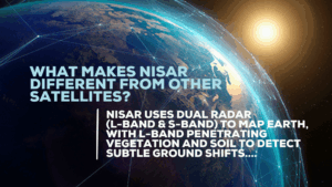
NISAR is the first satellite to use dual radar frequencies: L-band and S-band, to systematically map Earth’s surface. Its L-band radar has a longer wavelength (~240 mm), which allows it to penetrate vegetation and soil, detecting even subtle ground movement in areas where traditional InSAR methods can’t reach.
NISAR revisits the same location every 12 days, capturing large image footprints across global landmasses. This means you receive regular, reliable updates, ideal for tracking change over time and responding quickly to emerging risks.
Yes. NISAR follows an open data policy, so raw SAR imagery is freely available. 3vG processes this data using advanced algorithms to generate InSAR outputs and clear, actionable insights into displacement and acceleration.
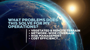
NISAR helps address several key challenges:
With 3vG’s NISAR-powered service, you receive: